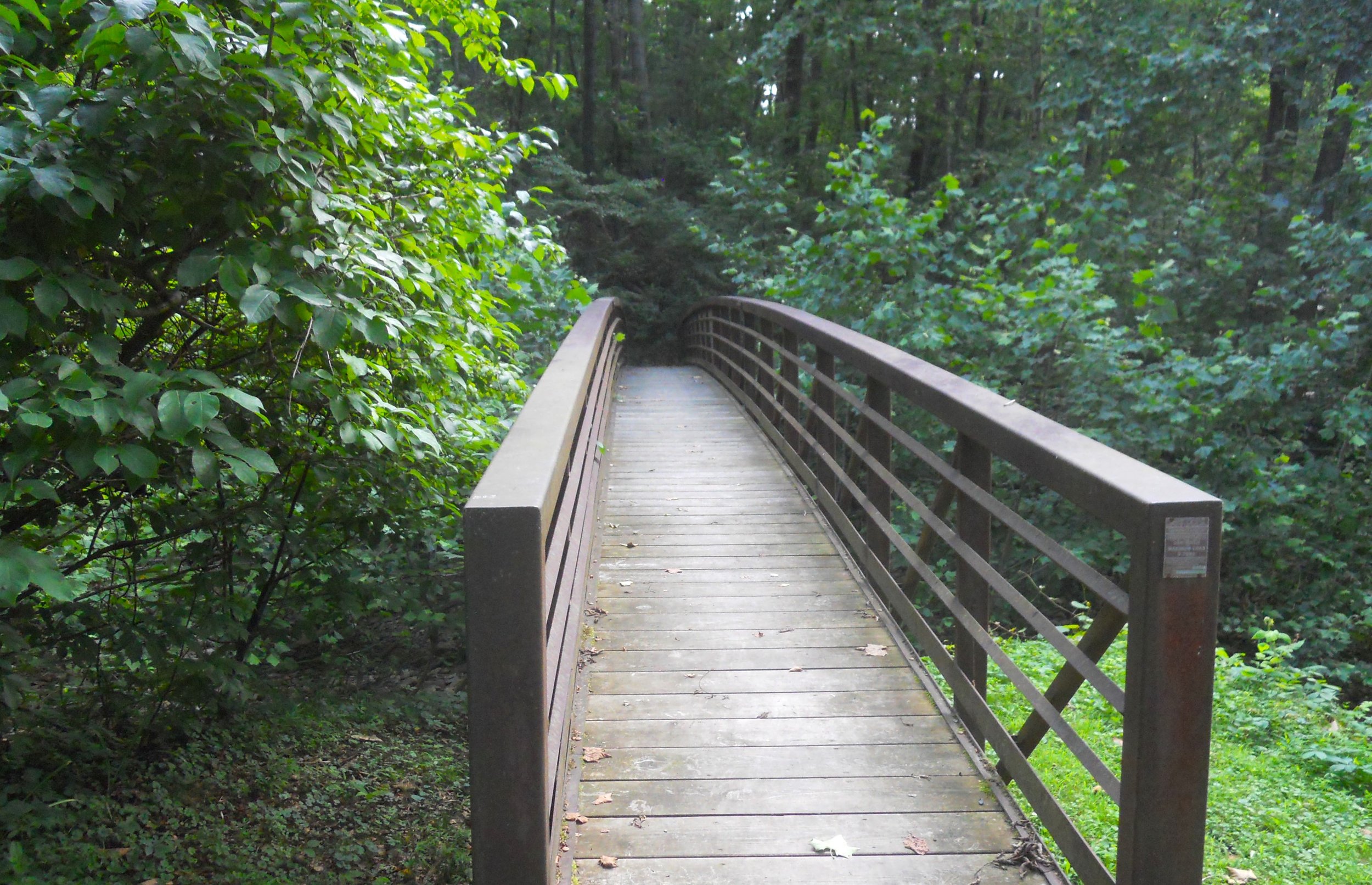
DAY 3 (July 11) - The Bluestone National Scenic River begins its journey near Bluefield, VA. But only a short portion, 10.5 miles, is within the NPS park, that being in southern West Virginia, near Hinton. It is about as slow going as a river can get (see photo), in July. There is one hiking trail, the Bluestone Turnpike Trail, which covers 9 miles along the western shore. A walking bridge has been built over the Little Bluestone River, which dumps into the bigger river at the Lilly parking lot and Trailhead. There was even less water in that tributary.
Even though I had stopped at New River Gorge NP and NPres earlier in the year, that was a “backup stop”, in case I never made it back. Well, today I was able to “stop and smell the roses.” First photo is at Brooks Overlook, viewing the New River at the southern section of the park. Further north is the historic town of Thurmond, which was a major railway stop, for tourists and coal shipments (Thurmond was considered the heart of the New River Gorge in the late 19th century). The Thurmond Depot (yellow building) stands today, 119 years old. It is now one of the park’s VCs, and has a museum. Down the tracks is the old town. The coaling tower is under the track lights. Downstream is the world famous New River Gorge Bridge, the longest arch bridge in the Western Hemisphere. It is possible to drive a car down the hillside to the river, permitting one to fathom the enormity of the structure. The Tunney Hunsaker Bridge is what allows vehicles to reach the other bank.
The Gauley River NRA spans 25 miles on the free-flowing Gauley, and six miles of the Meadow River. Early in the rafting season, the Gauley has some of the highest rated rapids in the Eastern USA. Today was a bit calmer. Though the park portion of the river is free-flowing, that is not the case for the entire length. The Summersville Dam was built between 1960 and 1966 as a flood control project. The one photo shows the backside of the dam, which releases water into the park portion of the river.


